Complete Geological Workflow
Everything you need for professional geological field mapping, from data capture to analysis.
Complete Geological Workflow
Everything you need for professional geological field mapping, from data capture to analysis.
Field Collection
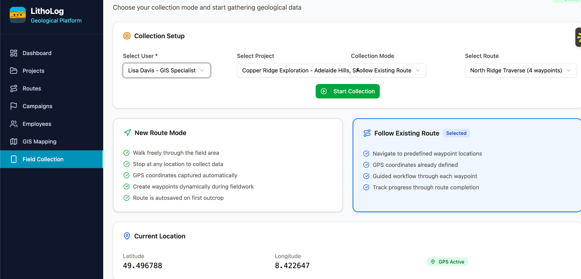
GPS Intelligence
WGS84 coordinates, elevation auto-fill, real-time accuracy validation and coordinate system conversion.
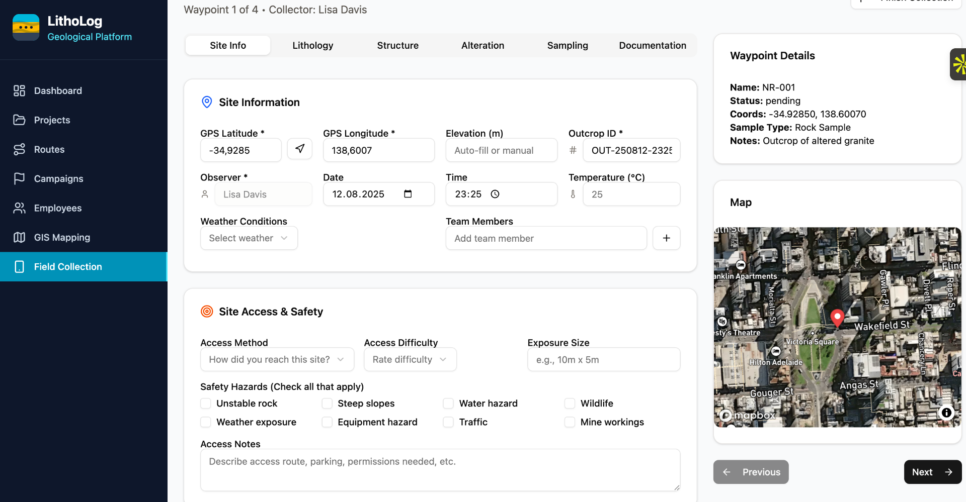
Integrated Photo Capture
Geotagged photos with automatic compression, metadata extraction, and field sketching capabilities.
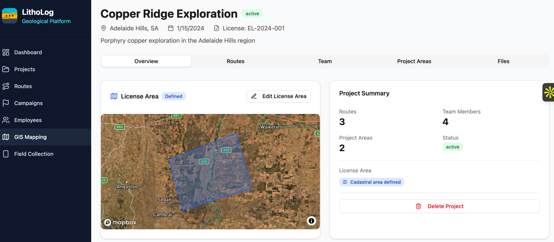
Offline-First Design
Complete functionality without internet, intelligent sync with conflict resolution when connectivity returns.
Data Standards
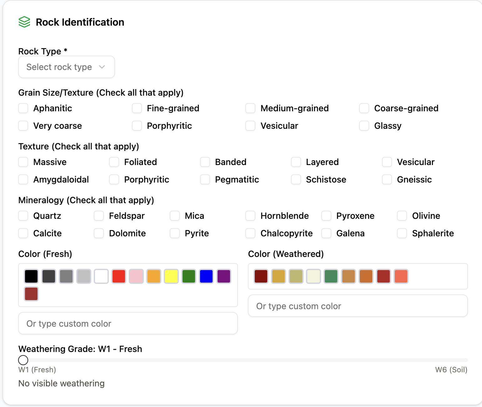
Standardized Taxonomies
Hierarchical rock classifications, standardized grain size categories, and consistent geological terminology.
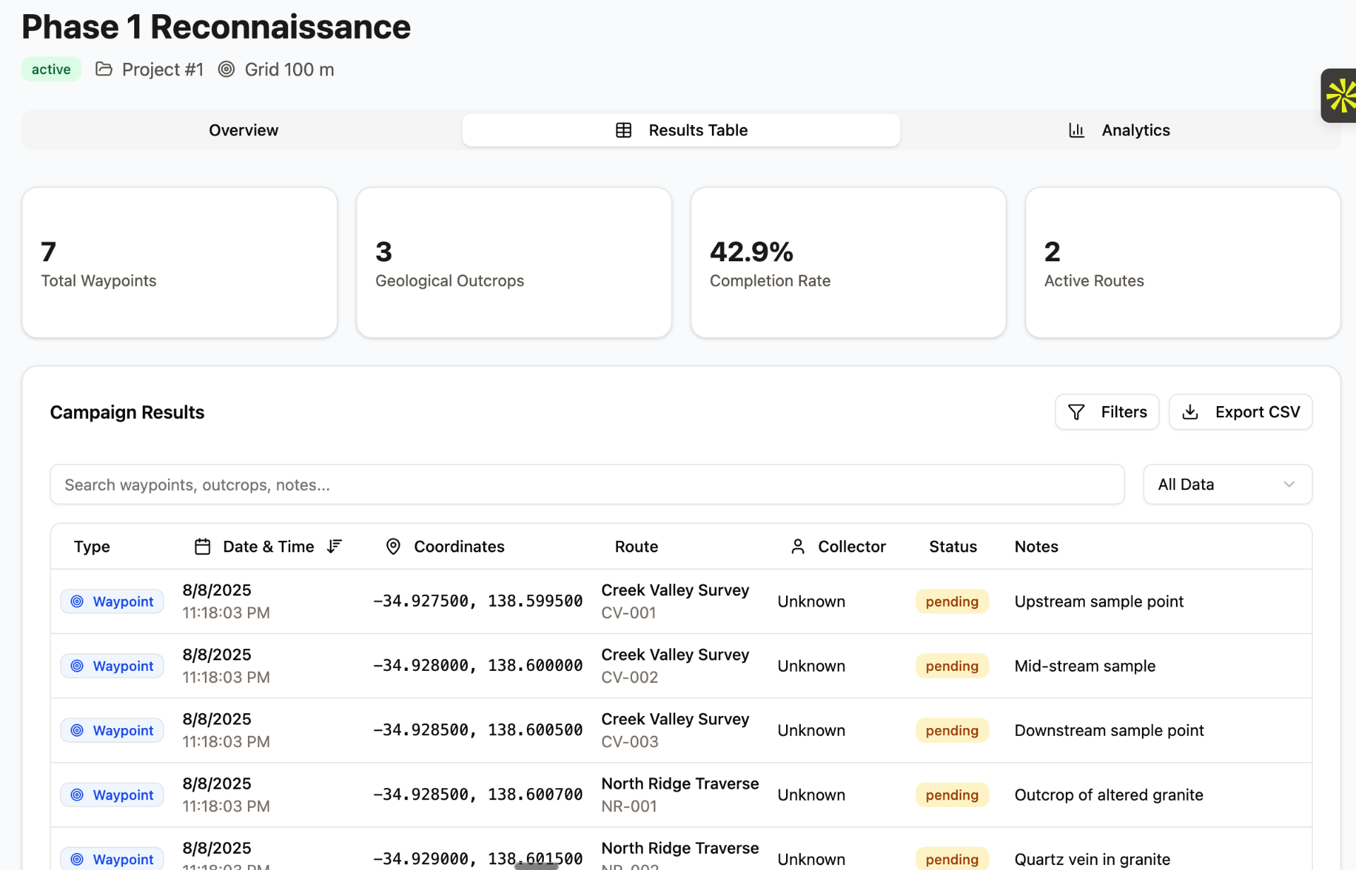
Quality Assurance
Built-in QA/QC checks, data validation rules, and completeness indicators for field data integrity.
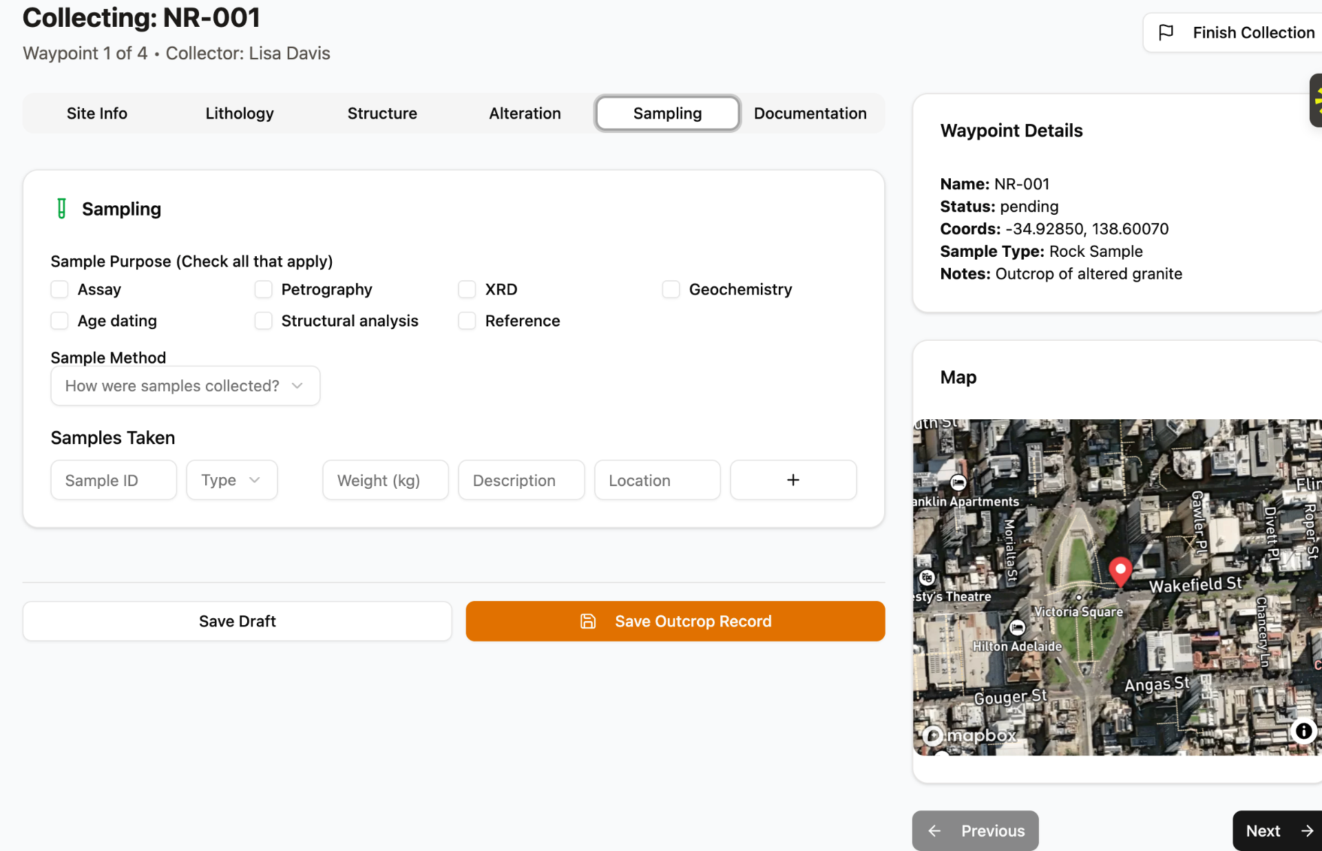
Instrument Integration
XRF/XRD connectivity with live QC indicators, calibration tracking, and automated data integration.
Team Collaboration
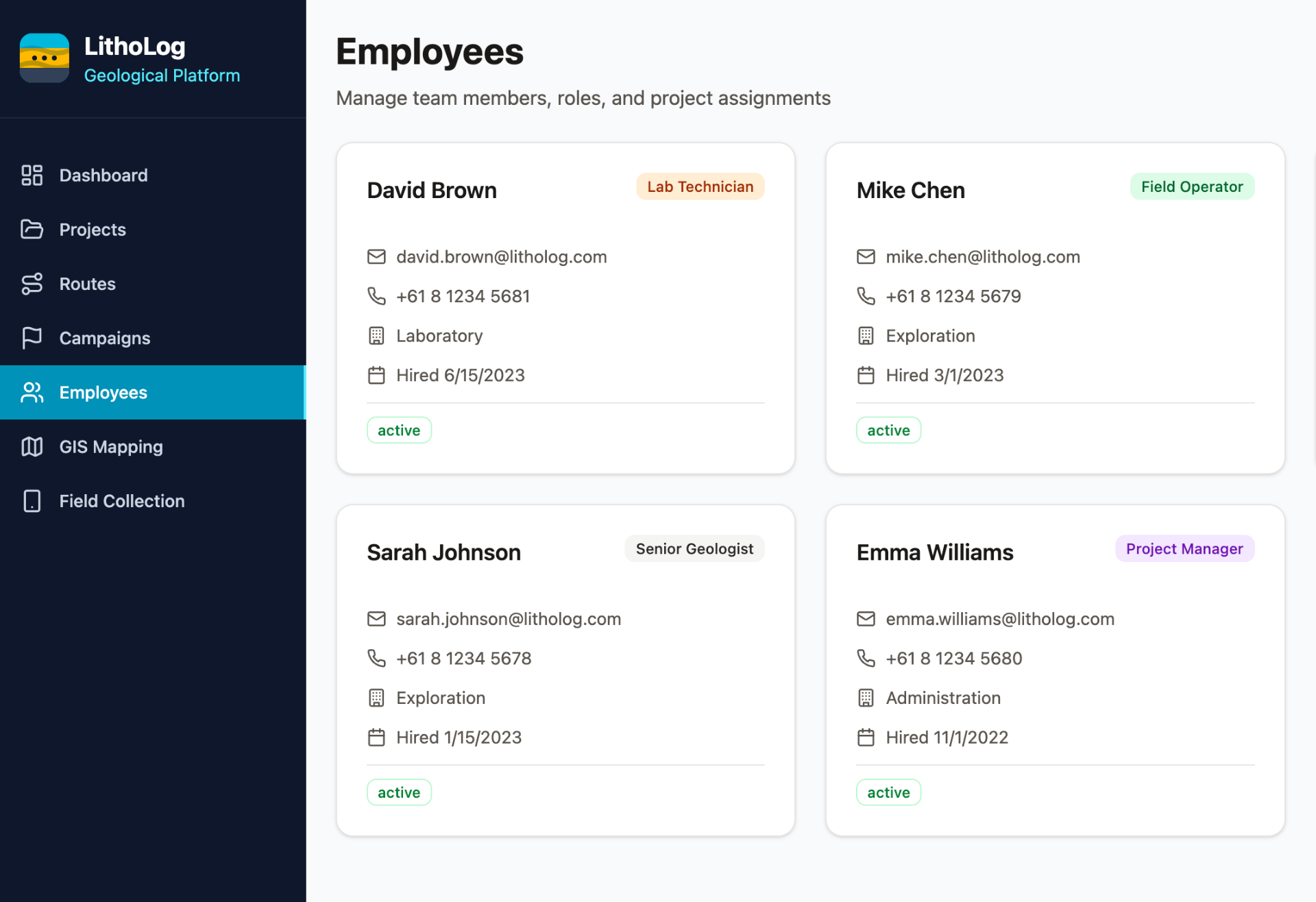
Team Management
Role-based access control, team member profiles, project assignments, and real-time collaboration.
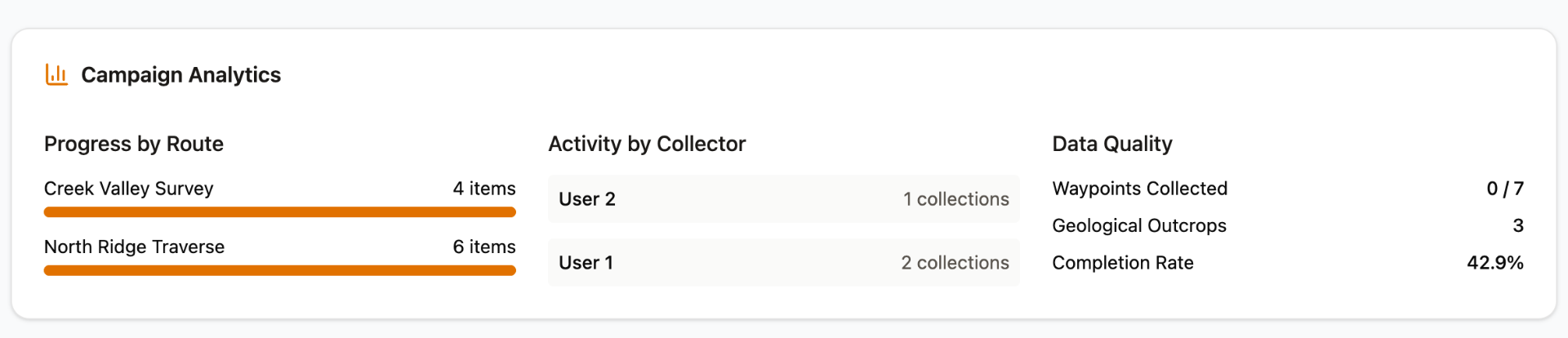
Real-time Sync
Live data sharing between team members, progress monitoring, and coordinated field operations.
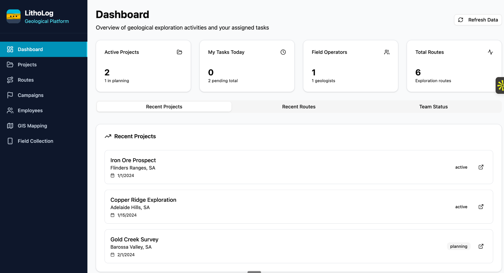
Campaign Management
Project planning tools, grid generation, waypoint assignment, and progress tracking dashboards.
Analytics & Export
Advanced Analytics
Real-time KPIs, completion tracking, data quality metrics, and comprehensive reporting dashboards.
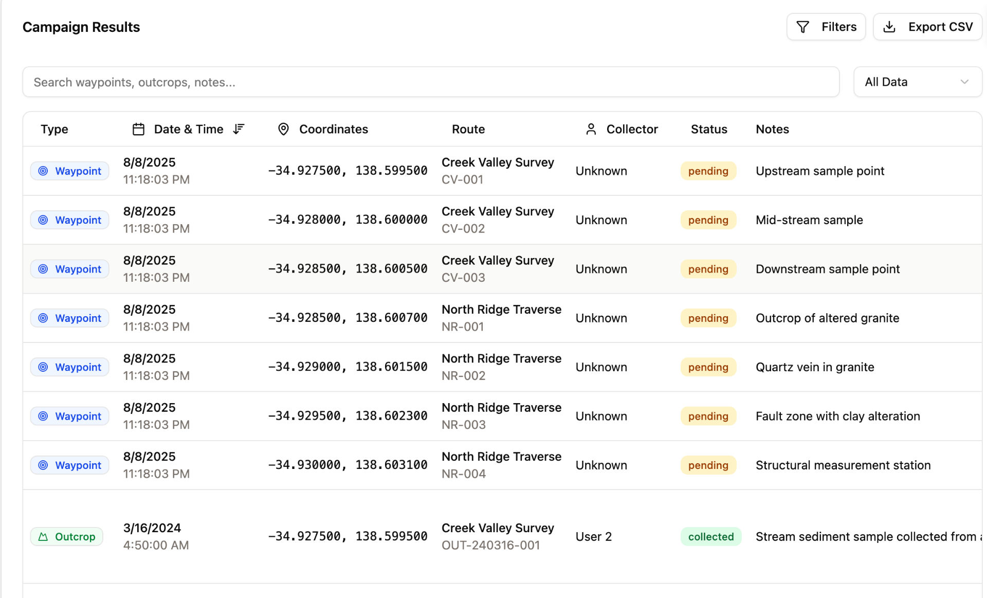
Flexible Exports
CSV, GeoJSON, GPX formats, photo archives, custom reports, and seamless GIS integration.
KML/KMZ Export
Google Earth integration and client deliverables with KML/KMZ export capabilities.
Shapefile Export
Industry-standard GIS format for seamless integration with ArcGIS and QGIS workflows.
Interactive Mapping
Dynamic map visualization, spatial analysis tools, and integration with professional GIS workflows.

Stereonet Visualization
Professional structural geology analysis with stereonet plotting and rose diagrams.
3D Visualization
Advanced 3D geological modeling and visualization capabilities for complex geological structures.
How LithoLog Compares
See how LithoLog's geology-specific features stack up against other solutions. We're purpose-built for geological field work, not adapted from generic tools.
Core Field Features
Geology-Specific Features
Project Management
Export & Integration
What Makes LithoLog Different
Unified Platform
Only solution with both web dashboard and field app in one system
Geology-Specific
Purpose-built for geological workflows, not adapted from generic tools
Accessible Pricing
70-90% less expensive than enterprise solutions with better geology features